About All Tours 2-Day Overnight ToursFrom Drake Bay ToursFrom Puerto Jimenez ToursSirena Station ToursFrom Uvita ToursPrivate Tours Directions Hours & Fees
Find Tours 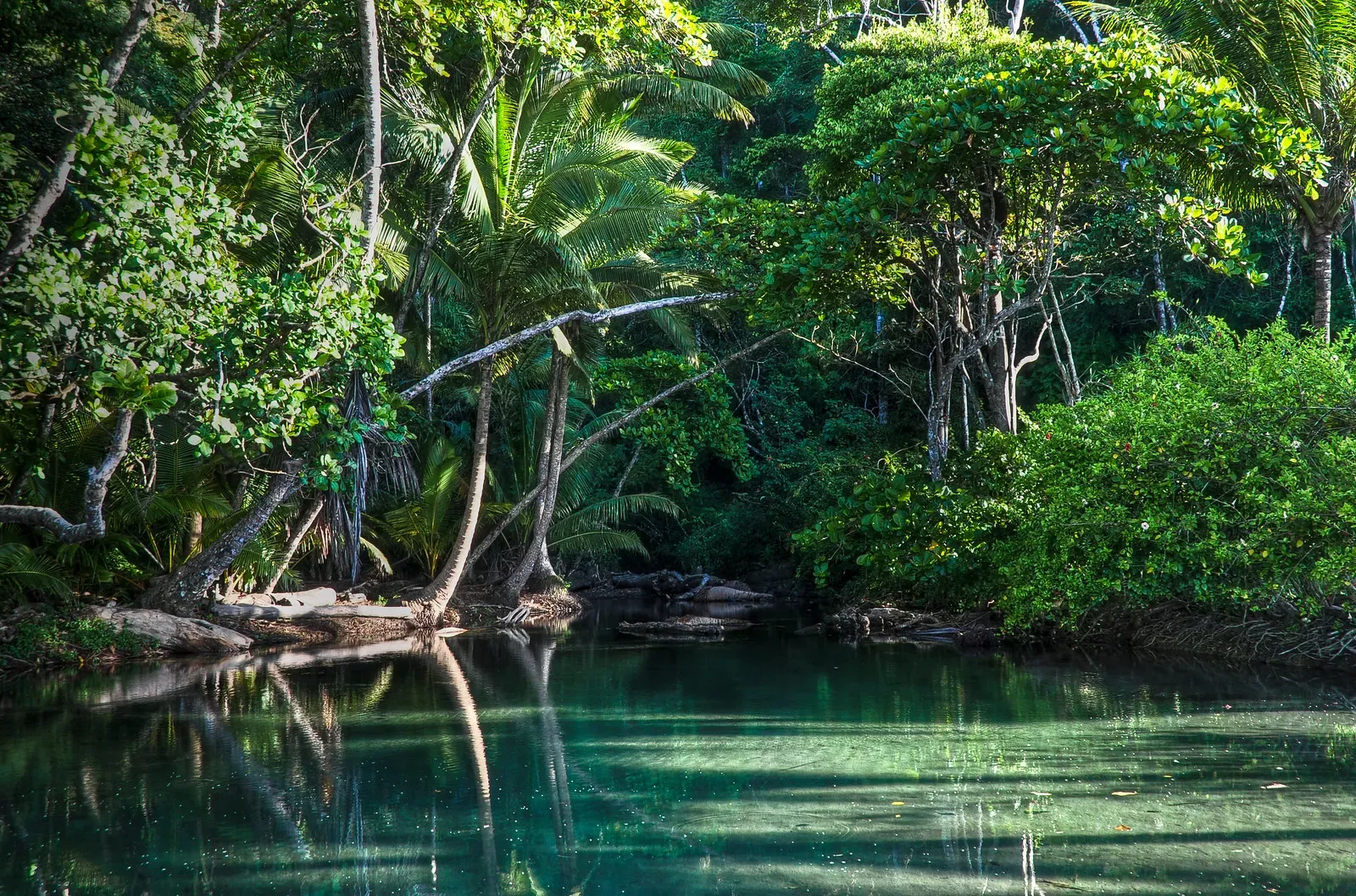
Corcovado National Park covers 424 square kilometers of the remote Osa Peninsula in southwestern Costa Rica. It protects the largest primary forest on the American Pacific coastline and holds 2.5% of the planet's biodiversity.
Four hundred and twenty-four square kilometers of old-growth tropical wet forest dominate the southwestern edge of the Osa Peninsula. Corcovado National Park contains 13 distinct ecosystems, ranging from low-altitude cloud forests to mangrove swamps. National Geographic identified this specific reserve as the most biologically intense place on Earth. It holds 2.5% of global biodiversity and over half of all wildlife species found in Costa Rica. Visitors walk through dense, humid corridors where emergent canopy trees tower 60 meters overhead. The air feels heavy. Sweat soaks through clothing within minutes of stepping onto the dirt trails.
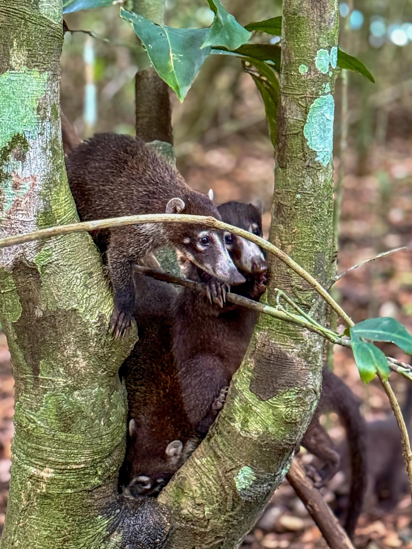
The park functions as a massive, untamed sanctuary for Central America's most endangered animals. Baird's tapirs graze openly on the grassy airstrip near the Sirena Ranger Station. Four native monkey species, sloths, and anteaters move through the branches above the cleared paths. Reaching these interior sectors requires preparation and physical endurance. Boats drop passengers directly into the surf for wet beach landings. Rivers swell rapidly during the wet season from May to December, making trails impassable and crossings dangerous.
Access requires strict adherence to regulations. Independent hiking has been illegal since 2014. Certified naturalist guides must accompany all visitors. Single-use plastics and outside food are confiscated at the entrance checkpoints. The park enforces a daily limit of 100 permits for the Sirena sector. Booking entry 60 days in advance is necessary to secure a spot during the January to April dry season.
Logging operations, cattle farming, and gold panning defined the Osa Peninsula before 1975. Fewer than 7,000 people inhabited the remote region. Miners dredged the rivers for gold, while agricultural expansion threatened to clear-cut the largest primary forest on the American Pacific coastline. The landscape faced rapid, irreversible degradation from these unregulated commercial activities. Conservationists recognized the immediate need to halt the destruction of this massive lowland tropical forest.
President Daniel Oduber established Corcovado National Park on October 24, 1975. This marked the first time Costa Rica created a protected area justified entirely on ecological and scientific merits. The government initiated a massive relocation effort in 1978. Approximately 300 farmers and their livestock were moved from the interior to the eastern side of the peninsula. The state compensated these settlers to ensure the park's boundaries remained free from agricultural development. Removing human settlements allowed the damaged ecosystems to begin a slow recovery process.
The government expanded the park's borders in 1978, 1980, and 1985. These strategic additions aimed to buffer the core habitat from persistent illegal gold mining and logging operations operating on the periphery. Enforcement remained a constant challenge throughout the late 20th century. Park rangers frequently clashed with poachers and illegal miners deep within the dense jungle. The administration implemented strict access rules in 2014, banning all independent, unsupervised hiking. Today, visitors must hire licensed naturalist guides to enter the 424-square-kilometer reserve. This mandate protects the fragile environment and prevents tourists from getting lost in the challenging terrain.
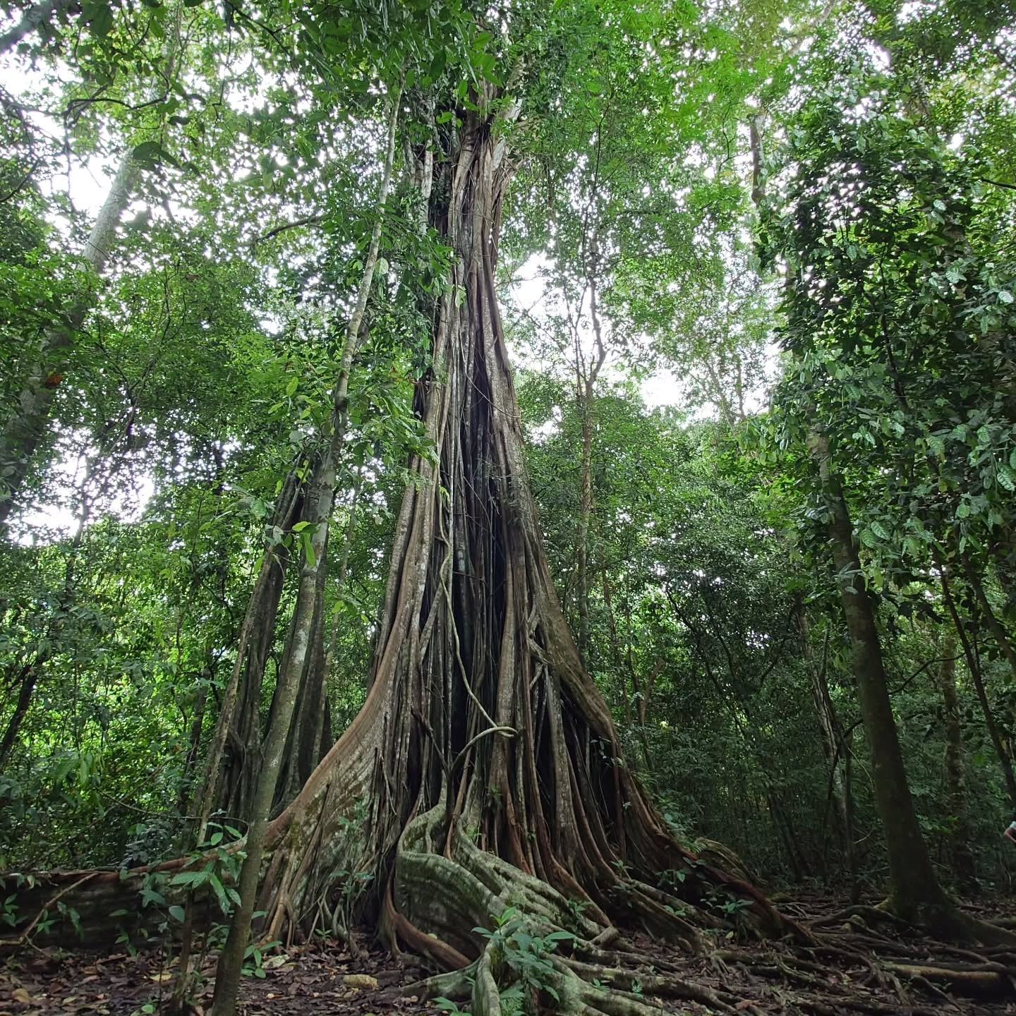
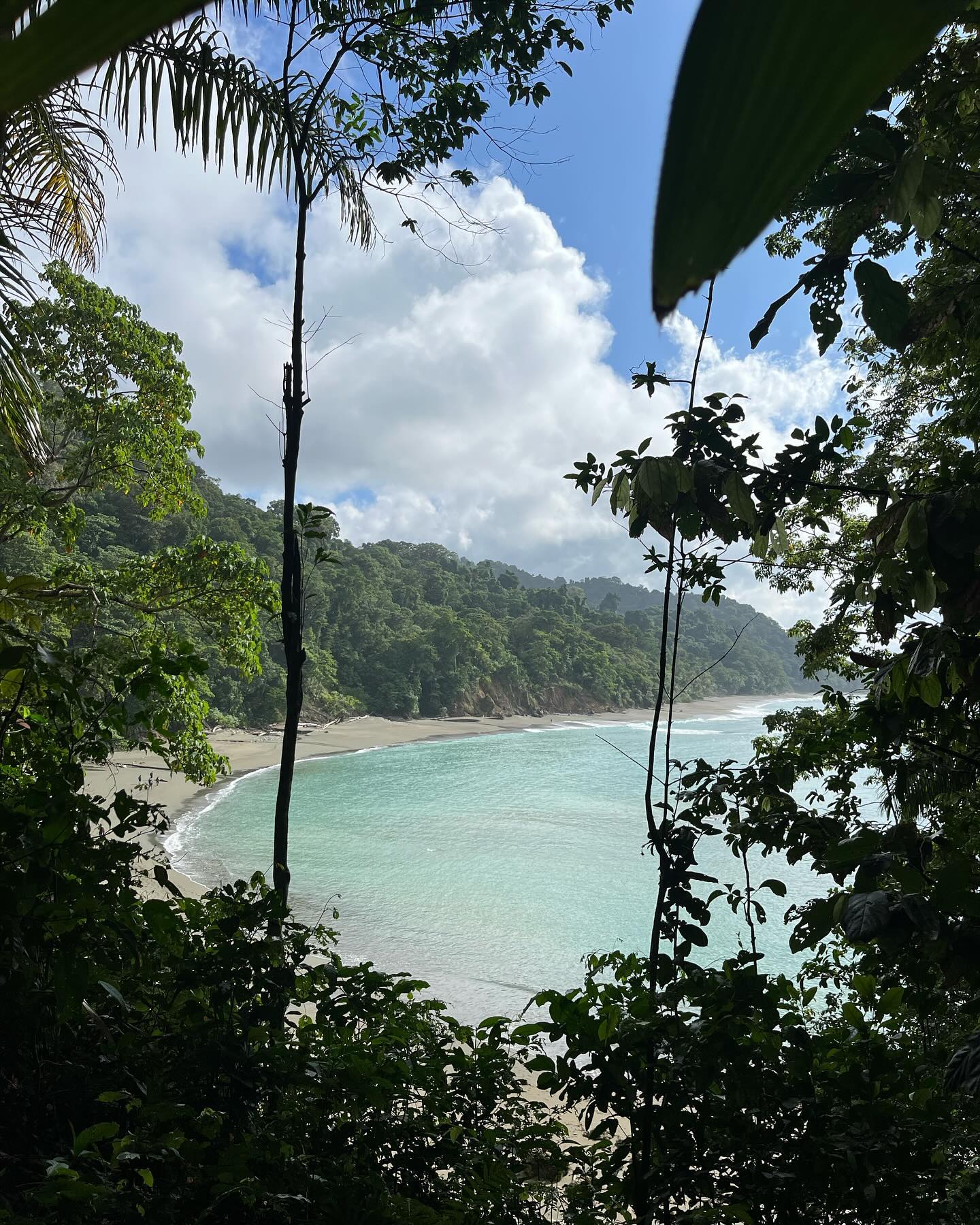
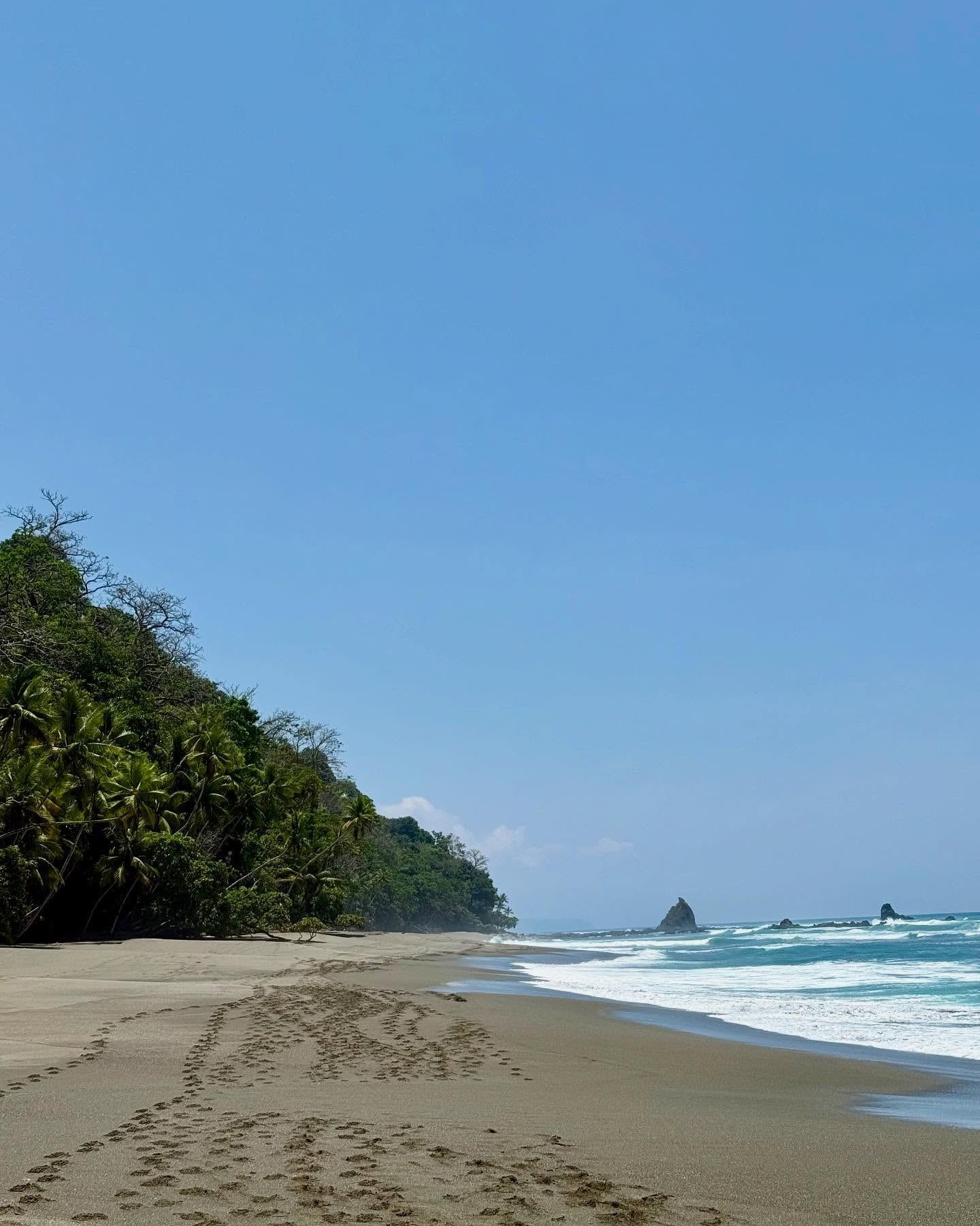
Over 100,000 acres of land and 8,000 acres of adjacent ocean make up the Corcovado reserve. The physical landscape transitions sharply from 46 kilometers of sandy beaches to dense interior rainforests. Thirteen distinct ecosystems exist within these borders. Low-altitude cloud forests, palm forests, and mangrove swamps dominate the terrain. Emergent canopy trees reach heights exceeding 60 meters, blocking sunlight from the forest floor. The interior contains the massive Laguna Corcovado, surrounded by shallow marshes and thick vegetation.
Two major river systems, the Rio Sirena and Rio Claro, cut through the primary wet forest. These waterways dictate movement through the park. Hikers on the 17-kilometer coastal trail between La Leona and Sirena must wade across these rivers. The water levels fluctuate drastically based on the tides and rainfall. Bull sharks swim into the Rio Sirena mouth during high tide, and American crocodiles inhabit the muddy banks. Crossing safely requires timing the tides perfectly and following a guide's exact path.
The northern edge of the park features the San Pedrillo sector. Deep within this old-growth forest, natural rock pools form beneath cascading waterfalls. The coastal boundaries present their own physical challenges. Strong, unpredictable rip currents and undertows churn the ocean water along the beaches. Swimming is strictly prohibited in these unauthorized zones. The terrain demands physical resilience. Mud covers the basic dirt trails, and the dense canopy traps the intense tropical heat. Hikers must carry at least two liters of water to survive the suffocating humidity.
Corcovado represents a fundamental shift in Costa Rican environmental policy. The 1975 designation proved that ecological preservation could outweigh immediate economic extraction. This decision established the Osa Peninsula as a global center for scientific research and biological monitoring. Researchers from around the world travel here to study complex tropical ecosystems untouched by modern development. The park functions as a living laboratory for biologists tracking endangered species populations, forest regeneration, and climate change impacts.
Local communities surrounding the park have transitioned from resource extraction to conservation-based livelihoods. Former gold miners and loggers retrained to become certified naturalist guides. Their deep, generational knowledge of the terrain now protects the flora and fauna they once hunted. Community-based tourism projects in nearby Rancho Quemado rely on the park's existence to sustain their local economy. Residents operate rural farming tours and manage smaller community-protected reserves that buffer the national park.
The strict entry quotas and mandatory guide laws reflect a cultural commitment to low-impact ecotourism. Costa Rica sacrifices mass tourism revenue at Corcovado to maintain the integrity of the primary forest. Visitors experience a raw environment where human comfort is secondary to wildlife preservation. The 100-person daily limit at Sirena Station ensures the habitat remains wild.
Bull sharks regularly enter the Rio Sirena during high tide to hunt in the murky waters.
The park contains over 50% of all wildlife species found in Costa Rica.
Endangered Baird's tapirs frequently graze directly on the grassy Sirena airstrip.
Independent hiking has been strictly illegal inside the park boundaries since 2014.
Visitors must bring reusable bottles because single-use plastics are banned and confiscated at the entrance.
The dense canopy is home to all four of Costa Rica's native monkey species.
Emergent trees in the low-altitude cloud forest grow over 60 meters tall.
Yes, hiring a certified naturalist guide is mandatory. Independent hiking has been illegal since 2014. This regulation protects the fragile ecosystem and prevents visitors from getting lost.
International adults pay $15 USD per day. Non-resident children aged 2 to 12 pay $5 USD. Costa Rican citizens and residents pay reduced rates.
No, outside food and snacks are strictly prohibited. Park rangers check all bags upon arrival and confiscate unauthorized items. You can only purchase and eat food at the Sirena Ranger Station shop.
The Sirena Ranger Station enforces a strict limit of 100 visitors per day. You must book permits weeks or months in advance during the dry season to secure entry.
The coastal hike covers 17 to 20 kilometers and takes 8 to 10 hours one way. The route requires crossing several rivers and walking along sandy beaches under intense heat.
January to April offers the best conditions during the dry season. February provides stable weather and accessible trails. Heavy rains from May to December turn paths into deep mud and make river crossings dangerous.
Yes, American crocodiles and spectacled caimans inhabit the waterways. Bull sharks also swim into the river mouths during high tide. Guides dictate exactly when and where it is safe to cross.
Overnight stays are permitted only at the Sirena Ranger Station. The facility offers basic dormitory lodging and camping. Advanced permits are required and packages cost between $315 and $450 USD.
You can take a 50-minute flight to Drake Bay or Puerto Jiménez. Alternatively, a four-hour bus ride to Sierpe connects to a one-hour public boat ride through the mangroves.
The park is highly inaccessible for wheelchair users. The terrain consists of basic dirt trails, deep mud, and frequent river crossings. No paved paths or ramps exist within the interior.
Browse verified tours with free cancellation and instant confirmation.
Find Tours